Choosing the Right Drone Topographic Survey Software: A Practical Guide
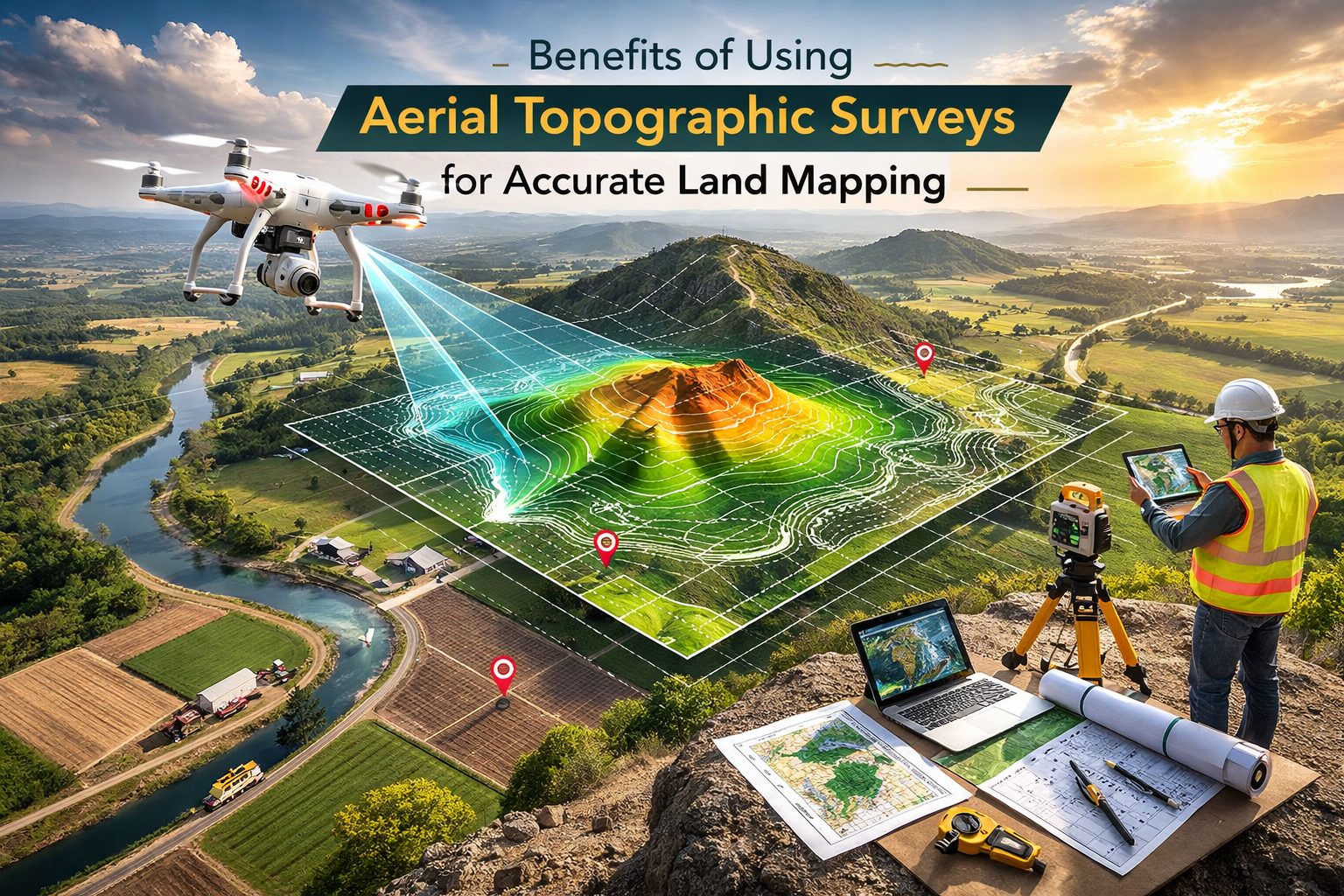
Modern surveying teams no longer rely solely on ground crews and tape measures. Drone topographic survey software has become the backbone of accurate, efficient terrain mapping. Whether you’re a municipal planner, civil engineer, or hobbyist, understanding the software that turns raw flight data into precise digital elevation models (DEMs) is essential. This guide breaks down the core concepts, highlights top tools, and walks you through the decision process so you can pick the system that best fits your workflow and budget.
What Is Drone Topographic Survey Software?
At its core, this software ingests the images, LiDAR returns, or photogrammetry outputs captured by a UAV and stitches them into a cohesive, high‑resolution elevation model. Unlike generic GIS packages, these tools are optimized for the unique geometry of drone data, handling large volumes of imagery while automatically correcting for camera tilt, lens distortion, and varying flight speeds.
Key Features of Drone Topographic Survey Software
When comparing options, focus on these critical capabilities:
- Automatic Ground Control Point (GCP) Integration – Seamless alignment of survey data to real‑world coordinates.
- Real‑time Pre‑Flight Planning – Flight path optimization based on terrain complexity and battery life.
- Post‑Processing Speed – Parallel processing and cloud‑based pipelines reduce turnaround from hours to minutes.
- Output Flexibility – Export formats such as GeoTIFF, LAS, or ArcGIS-compatible shapefiles.
- Quality Assurance Tools – Built‑in metrics for point density, RMSE, and slope error.
- Scalability – Ability to handle projects ranging from 1 ha plots to multi‑thousand‑hectare landscapes.
Popular Drone Topographic Survey Software Choices
The market hosts several standout solutions, each with its niche strengths:
- Pix4Dmapper – Widely regarded for its robust photogrammetry engine and intuitive interface. Ideal for medium‑to‑large commercial projects.
- DroneDeploy – Cloud‑centric platform with instant preview maps. Great for rapid deployment and real‑time stakeholder updates.
- RealityCapture – Known for speed; it processes millions of points in a fraction of the time required by peers.
- Bentley ContextCapture – Seamless integration into existing civil engineering pipelines, especially for infrastructure modeling.
- Trimble Business Center – Offers LiDAR and UAV data fusion, appealing to teams that handle both aerial and terrestrial surveys.
- OpenDroneMap – Open‑source alternative that supports custom workflows for developers and advanced users.
How to Choose the Right Tool for Your Team
Begin with a clear list of project requirements:
- Area size and expected point density.
- Desired turnaround time.
- Integration with existing GIS or CAD workflows.
- Budget constraints, including licensing, cloud storage, and hardware support.
- Level of technical expertise within the team.
Next, run a pilot flight using a small subset of data on each platform. Compare the resulting DEM accuracy, processing time, and ease of use. If your work demands high‑precision LiDAR, a platform like Trimble Business Center might be more appropriate than a purely photogrammetric solution.
Workflow Overview: From Flight to Final Map
- Pre‑Flight Planning – Define capture parameters, flight altitude, and overlap percentages. Incorporate GCPs or GNSS benchmarks.
- Data Capture – Execute the flight using a calibrated UAV, ensuring consistent lighting conditions.
- Data Transfer – Securely upload images or LiDAR points to the chosen software’s processing environment.
- Processing & Alignment – The engine matches overlapping features, applies GCP corrections, and generates a dense point cloud.
- DEM Generation – The point cloud is interpolated into a raster grid, often with options for slope or aspect overlays.
- Quality Assurance – Review point density, ground‑truth error, and visual anomalies.
- Export & Integration – Deliver GeoTIFFs, shapefiles, or ready‑to‑use BIM models for downstream projects.
Common Challenges and Practical Tips
Even the best software can fall short if data quality is compromised. Here are proven strategies:
- Consistent Camera Settings – Use fixed exposure and white balance to reduce color banding.
- Avoid Rapid Altitude Changes – Sudden climbs can introduce distortions that software struggles to correct.
- Use Adequate GCPs – A minimum of four high‑accuracy benchmarks generally yields sub‑centimeter georeferencing.
- Monitor Real‑Time Feedback – Many platforms provide live overlap checks; heed those alerts to prevent data gaps.
- Maintain Hardware Health – Keep sensors clean and calibrate cameras before each flight.
Future Trends in Drone Topography
As UAV and sensor technology evolve, so will the software that interprets the data. Anticipate these developments:
- Edge‑processing on the drone itself, reducing cloud reliance.
- Artificial‑intelligence algorithms that automatically detect and correct anomalies.
- Greater interoperability with BIM and GIS ecosystems through standardized APIs.
- Enhanced real‑time analytics for immediate decision‑making on construction sites.
FAQ
Q: What is the difference between photogrammetry and LiDAR in topographic surveys?
A: Photogrammetry reconstructs surfaces by triangulating overlapping images, while LiDAR uses laser pulses to measure distances directly. LiDAR often yields higher point densities over complex vegetation, but photogrammetry can be more cost‑effective for open terrain.
Q: Can I use free software for professional surveys?
A: OpenDroneMap offers a powerful, open‑source pipeline that can